ConfirmedMilitary & securityHormozgan province, Iran
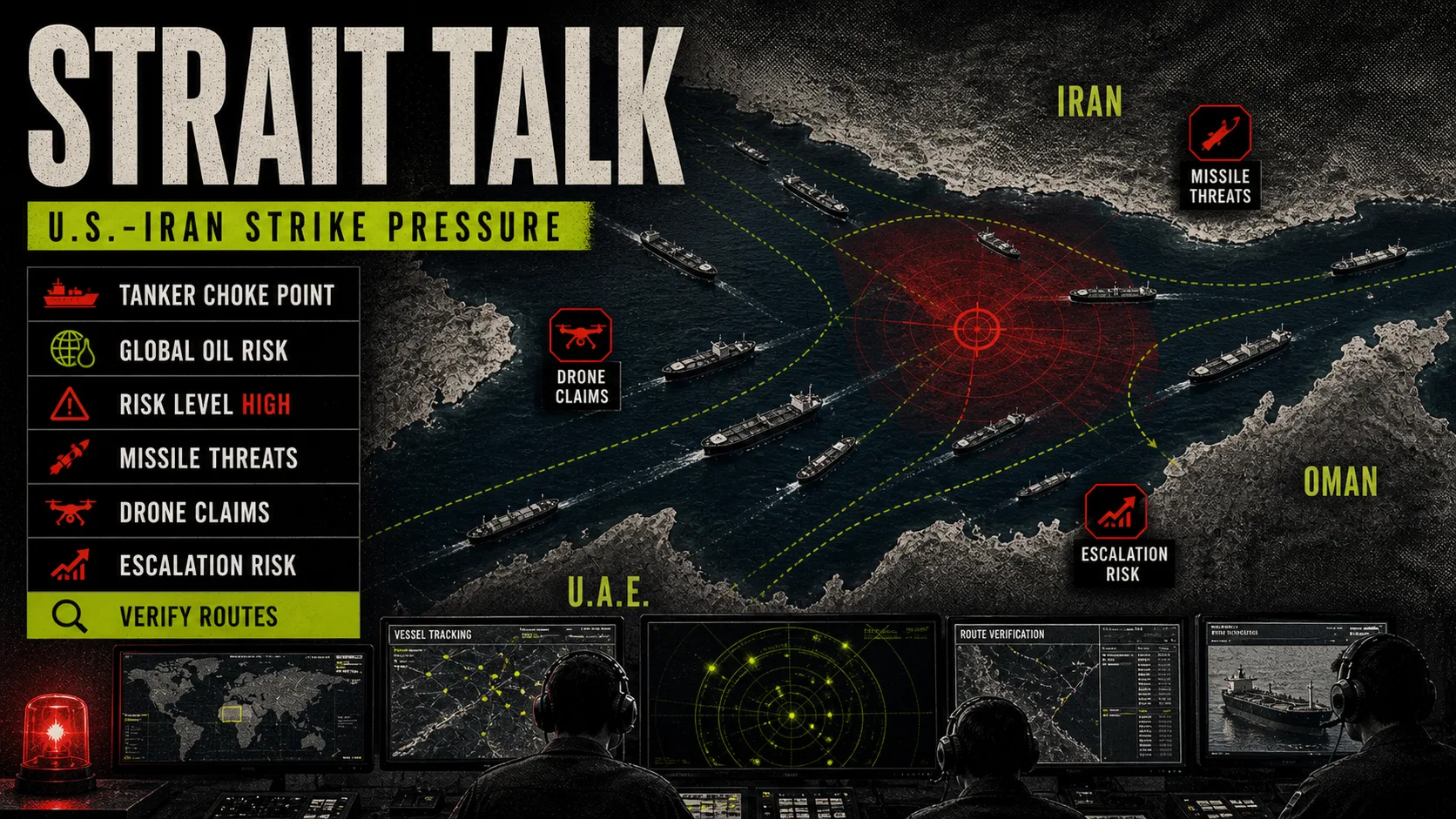
U.S. strikes Iranian air defences and radars near Hormuz in three waves after Apache loss
- Mountain Time
- Local time
- 12:30 AM in Tehran, Jun 10
- Where
- Hormozgan province, Iran
CENTCOM said Air Force and Navy jets began 'self-defense strikes' at 5 p.m. ET on Iranian air defence, ground control and surveillance radar sites near the Strait of Hormuz, calling them a proportional response to the Apache's downing and to attacks on shipping, and declared them completed about four hours later. Iranian media reported explosions in Sirik, Bandar Abbas, Qeshm, Jask and Minab across second and third waves, and Fars said two water tanks in Sirik's Bemani district were destroyed.
Why it matters
U.S. officials described the strikes as limited, but Iran answered within hours with drone and missile attacks aimed at U.S. bases in Bahrain, Kuwait and Jordan.
Sources (18)
- APapnews.comPublished
- Guardian livetheguardian.comPublished
- Times of Israeltimesofisrael.comPublished
- Al Jazeera livealjazeera.comPublished
- Times of Israel / Reuterstimesofisrael.comPublished
- Axiosaxios.comPublished
- Times of Israel / agenciestimesofisrael.comPublished
- Wall Street Journalwsj.comPublished
- CENTCOM public releasecentcom.milPublished
- Al Jazeera live (2)aljazeera.comPublished
- Al Jazeera live blogaljazeera.comPublished
- The Guardian live blogtheguardian.comPublished
- Al Jazeera live blog (2)aljazeera.comPublished
- Al Jazeera live blog (3)aljazeera.comPublished
- Al Jazeera live blog (4)aljazeera.comPublished
- The Guardian live blog (2)theguardian.comPublished
- The Guardian live blog (3)theguardian.comPublished
- The Guardian live blog (4)theguardian.comPublished
Confidence: Corroborated by independent sources or direct evidence. About confidence labels
Correction
- Corrected the time from About 1:00 AM Tehran time, Jun 10, 2026 to 12:30 AM Tehran time, Jun 10, 2026; corrected the headline (it read "U.S. begins strikes against Iran after Apache incident"); revised the summary; revised the context note; corrected the location from Iran / Strait of Hormuz to Hormozgan province, Iran; changed the confidence label from official to confirmed; reclassified it from strike to military-strike; updated the sourcing note; merged 4 duplicate entries into this one ("Reports identify U.S. strike targets around Hormuz", "Second U.S. strike round reported on Iran's southern coast", "Third U.S. strike wave reported near Bandar Abbas", "CENTCOM says Hormuz strike package is complete"); added 8 sources: Al Jazeera live blog, The Guardian live blog; removed Sky News live as a source (a rolling live page that now shows other content); corrected the publication date of AP from 2026-06-09 to 2026-06-09. Why and evidence